

Palisades del Rey, California, refers to a subdivision tract advertised in the 1920s that later became part of the Playa del Rey district commonly known as “The Jungle.” Today, the name is useful as a point of local history, while nearby Del Rey and Playa del Rey are identified as separate Los Angeles neighborhoods.
- Historical context: The tract dates to 1924.
- Later name: The area is commonly known as “The Jungle” in Playa del Rey.
- From Manhattan Beach: It is about an 11-minute drive from a motel in Manhattan Beach.
- Nearby historic transit: A Playa del Rey streetcar station stood immediately north of the district in the 1920s.
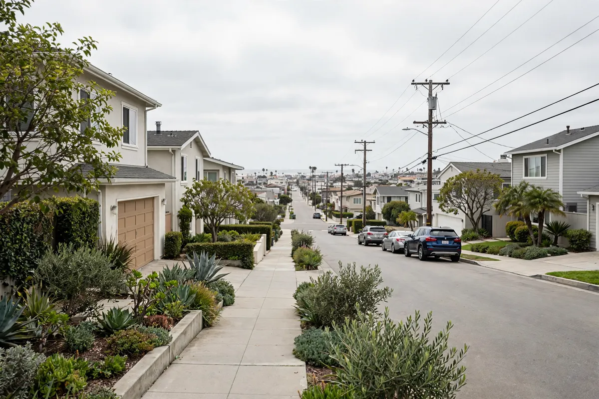
Where Palisades del Rey is
Palisades del Rey was a 1924 subdivision tract immediately south of the Playa del Rey streetcar station at Culver Boulevard and Vista del Mar. The City of Los Angeles historic-resources report says advertisements used the Palisades del Rey name in the 1920s; the tract later became the district commonly called “The Jungle” in Playa del Rey.
That history explains why the name can be confusing on a present-day map: it refers to a historic tract, while the report connects it to a district within Playa del Rey.
Los Angeles City Planning places Del Rey and Playa del Rey within the Palms–Mar Vista–Del Rey Community Plan area. City Council District 11, meanwhile, lists Del Rey and Playa del Rey as separate neighborhoods.
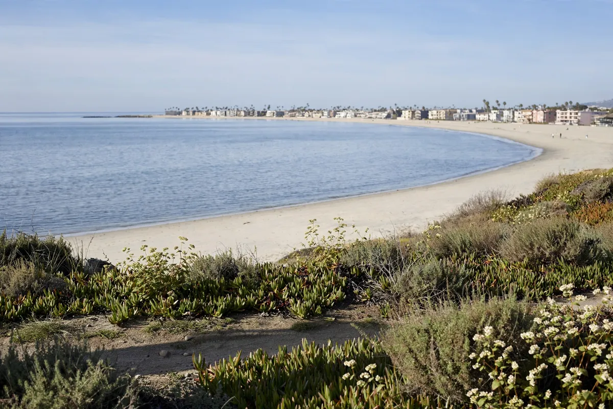
How it relates to nearby South Bay places
Palisades del Rey’s local context is tied to Playa del Rey and the broader set of Los Angeles neighborhoods around Del Rey, rather than to a single modern boundary label.
The Del Rey Neighborhood Council describes its boundaries as Washington Boulevard to the north, Jefferson Boulevard to the south, the Culver City boundary to the east, and Lincoln Boulevard to the west.
The City of Los Angeles says Del Rey is within Los Angeles, although a large portion uses Culver City ZIP code 90230. That ZIP code detail does not change the city boundary.
The historic tract’s original sales pitch also placed it in a wider city context: advertisements promoted views of Santa Monica Bay and major boulevards connecting the area to the rest of Los Angeles. Those are historical details, not a guide to present-day views or routes.
Planning a visit from Manhattan Beach
From Manhattan Beach, the drive to Palisades del Rey takes about 11 minutes. If you are driving, use that time as a broad planning guide and confirm the route before setting out.
The historic-resources report offers a useful starting point for understanding the area: it describes the tract’s layout and its relationship to the old streetcar station, rather than treating the name as a separate contemporary destination.
The 1924 plan used walking streets, with cars and garages placed on secondary streets at the rear. This arrangement is part of the tract’s history; it should not be taken as a statement about current street access or parking.
If you are also planning time in Manhattan Beach, a one-day Manhattan Beach itinerary can help put the area into a broader day plan.
For public transport around Manhattan Beach, Beach Cities Transit has been described as connecting Redondo Beach, Hermosa Beach, Manhattan Beach, and El Segundo on two fixed routes. If you plan to use transit, confirm current routes and services with the transit operator before relying on them.
What to verify before going
Before setting out, check the official site for current neighborhood maps and any access or parking information that matters to your plans. Los Angeles City Planning’s neighborhood and community-plan information can help you distinguish Del Rey, Playa del Rey, and the historic Palisades del Rey tract.
If you are using transit during your time in Manhattan Beach, getting around Manhattan Beach by transit is another part of planning your local trip.
For a visit focused on the tract’s history, keep the 1924 subdivision and its connection to Playa del Rey in mind. The original street arrangement and advertising do not establish present-day access conditions or visitor facilities, so verify those details before you go.
FAQs
Is Palisades del Rey the same as Playa del Rey?
The historic tract later became the district commonly known as “The Jungle” in Playa del Rey. The names describe different layers of local history and geography.
When was the Palisades del Rey tract created?
The subdivision tract dates to 1924, and advertisements used the Palisades del Rey name in the 1920s.
What was unusual about the original street layout?
The plan used walking streets, with cars and garages on secondary rear streets.
Where was the old Playa del Rey streetcar station?
In the 1920s, the station stood at Culver Boulevard and Vista del Mar, immediately north of the district.